
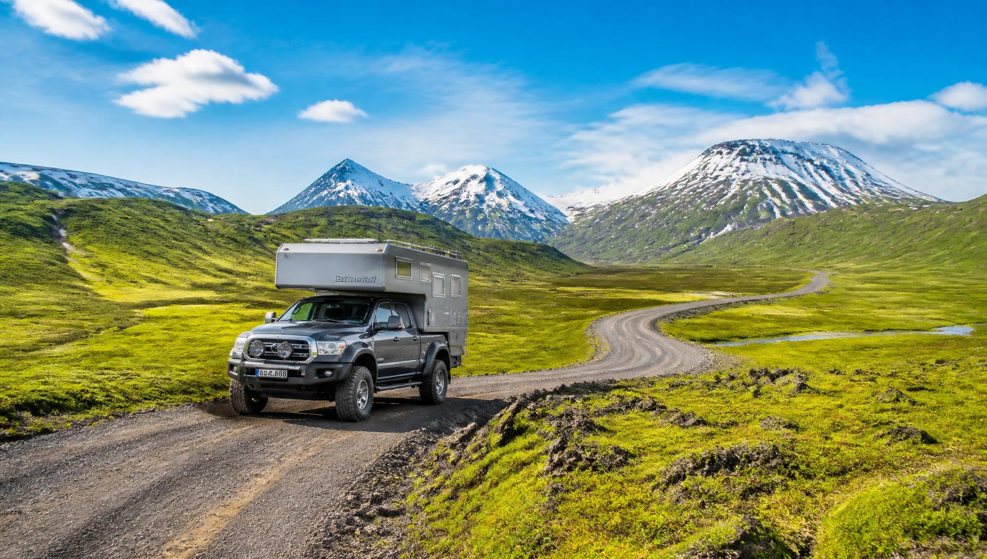

The Geothermal Field Expedition
Every entry is walked, measured and permissioned before it is written. Method before spectacle — and no point locations published until landowners, authorities and safety review agree.
- 8 regions
- Surveyed on route
- 99
- Hot spring entries
- Twice
- Verified on the ground
- Seasonal
- Access windows
Region plate
Public surfaces show region-level distribution only. Coordinates, trailheads and point pins stay inside the private field record.
- South
- West
- Westfjords
- North
- East
- Highlands
How a spring becomes an entry
Each candidate moves through the same sequence. Nothing skips ahead because a photograph looks good.
Survey pass
- Reached by
- Foot / 4x4 · season dependent
- Recorded
- Water + ambient temperature
- Elevation
- Logged at the source
Access & logistics
- Landowner
- Written permission required
- Vehicle
- 4x4 confirmed per route
- Water
- Chemistry sampled where safe
Safety notes
- Scalding risk assessed at every measured pool.
- Unstable ground and crust marked in the private record.
- No entry is published without a current access status.
Editorial gate
- Two independent site visits before verification.
- Photograph must exist and be cleared for the channel.
- Corrections logged publicly once published.
How the catalogue is sorted
These are the characteristics we record in the field. Filtering across individual sites opens to members once the catalogue clears review.
Get the field dispatch
Short updates from the road while the survey is running: springs measured, access won or lost, weather, corrections and what the next leg costs. No selling, and you can leave at any time.
This survey runs on funded mileage.
Sponsors cover getting to sites, permissions and verified documentation. Editorial judgement and safety findings are never for sale.